Applications:
 OrthoToolStereo offers the possibility to visualize in 3D the geographical features that can determine areas susceptible to the occurrence of dangerous natural phenomenons, such as floods, rushing streams of water, slipping of hillside terrains, etc.
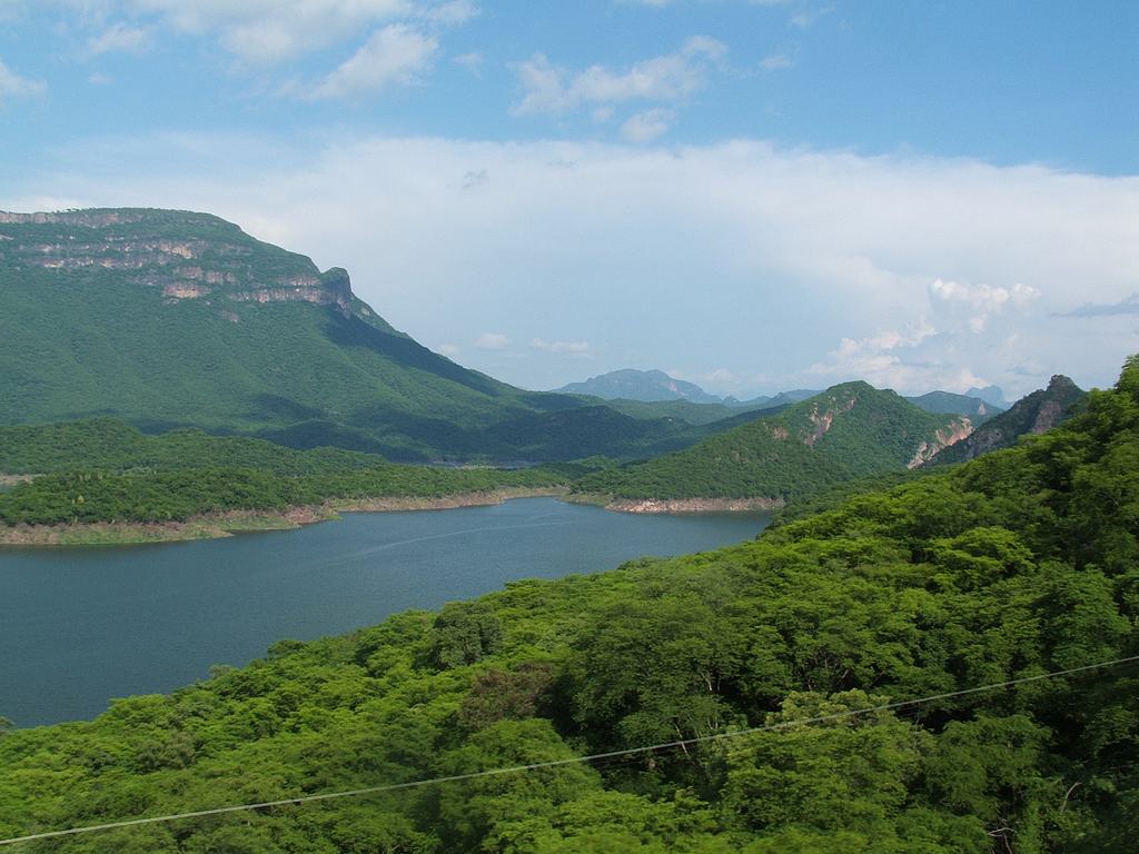 When extracting DEMs (Digital Elevation Model), with OrthoToolStereo you can visualize 3D images and even perform panoramic flight simulations over areas of environmental conservation (hilltops, hillsides, etc.). With the new resources offered by OrthoToolStereo you can automatically identify flooded areas or areas that are susceptible to floods, which is an important visualization tool for Hydric Resources managers.
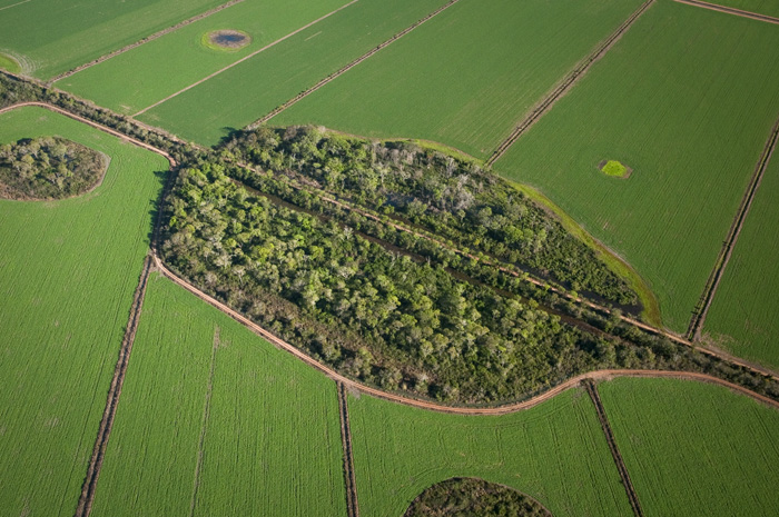 Through updated images of the region to be studied you can identify the many types of soil utilization, such as culture areas, urban areas, exposed soil, etc.
 With the efficient topographic modelling functions available with OrthoToolStereo, you can create panoramic flight simulations for the recognition and identification of features of interest.
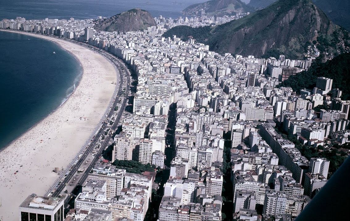 Tourism publicity of areas that contain any natural attraction (canyons, coasts, swamp, etc.), through panoramic flight simulations.